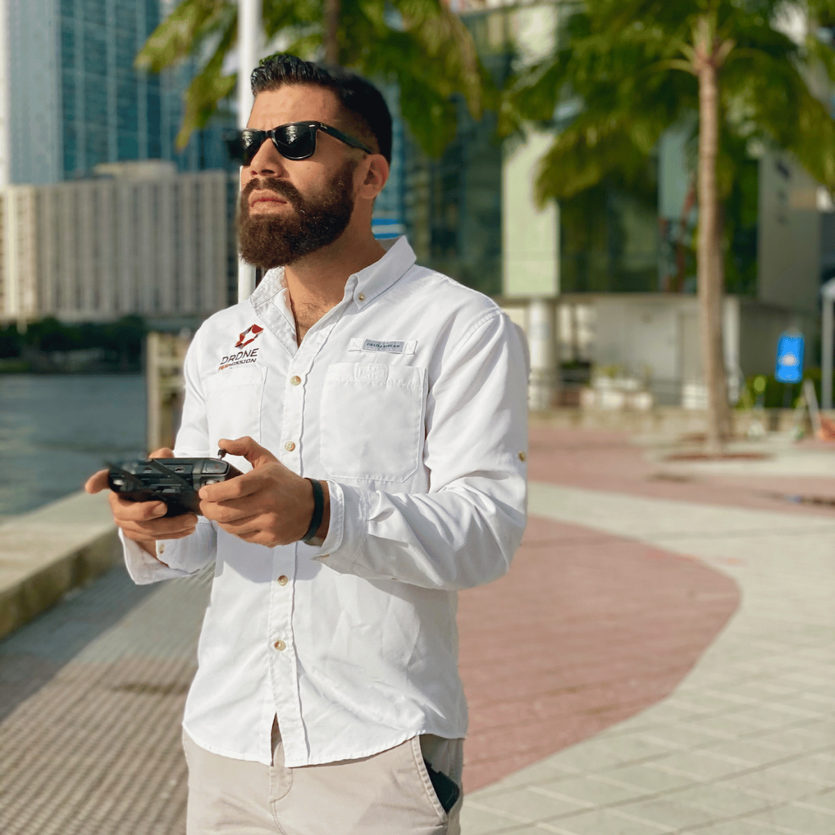
Aerial Photo and Video Services
Stand out in your industry with top of the line drone photography and videography.
Why is aerial photography and videography essential for your business?
Drone photography and videography services have changed the way businesses and individuals capture images and videos. Whether for marketing, real estate, or event coverage, drones provide breathtaking aerial views that were once only possible with expensive helicopter rentals. As technology advances, drone photography services have become more accessible, cost-effective, and versatile.
Types of Aerial Photo and Video Services
Aerial photography and videography can be applied in a wide range of fields and for various purposes.
Real Estate
Make your real estate listings stand out from competitors. Give potential buyers a better perspective of a property’s size, layout, and surroundings. High-quality drone footage can increase engagement and speed up sales.
Construction and Inspections
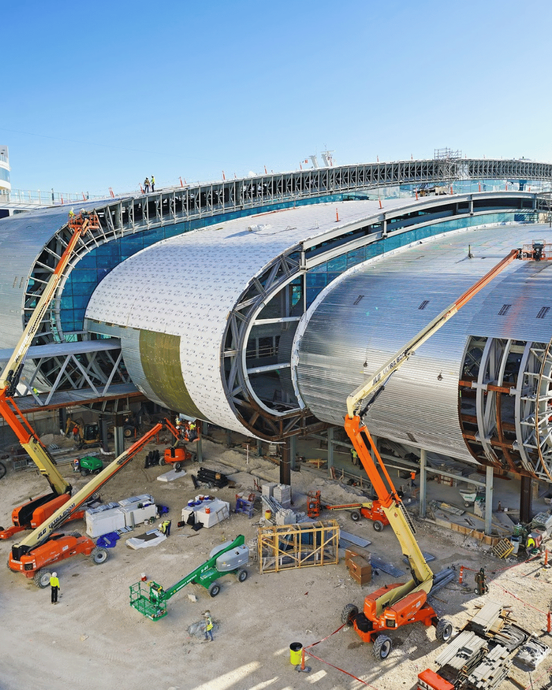
Drones provide a safer, faster way to inspect your construction site, monitor the progress, and identify potential safety issues. Use aerial imaging for documenting your project and compliance tracking.
Event Coverage

From corporate events and sports matches, aerial footage adds cinematic value. For your next event, capture unique angles and dynamic shots that traditional cameras cannot achieve.
Marketing and Advertisement

Use our drone services for eye-catching promotional videos, social media content, and commercials. Aerial views create a professional, high-impact visual experience that grabs attention.
Agriculture and Land Surveys

If you’re a farmer or a land developer you can rely on drones for mapping, crop monitoring, and land analysis. Aerial imaging helps optimize resources and improve productivity.
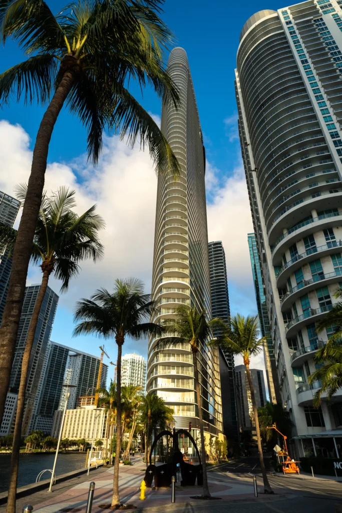
Drone Services in Florida
Our Work speaks for itself
Professional drone services offer high-quality visuals from unique perspectives, enhancing brand image and marketing effectiveness. They are more cost-effective than traditional aerial photography methods. Drone operators ensure safety and legal compliance, avoiding fines or operational risks. Additionally, drone photography speeds up projects by delivering quick, high-resolution results.
What Our Clients Say
EXCELLENTTrustindex verifies that the original source of the review is Google. I had an incredible experience with Drone Permission! Their team delivered exceptional aerial photography and videography for my project, showcasing it in ways I couldn’t have imagined. From the initial consultation to the final delivery, their process was seamless and professional. They took the time to understand my vision, planned the perfect flight paths, and captured stunning high-resolution footage. The personal touch they added—through tailored editing and ensuring every detail matched my needs—made all the difference. Their FAA-licensed pilots and commitment to quality truly set them apart. I highly recommend Drone Permission for anyone looking to elevate their project with top-notch drone services!Posted on GoogleTrustindex verifies that the original source of the review is Google. Drone Permission delivered exactly what we needed—prompt, professional drone services in Miami, FL. Their FAA Part 107–certified, licensed and insured drone pilots captured stunning aerial photography and drone videography for our project, plus construction progress documentation and drone mapping we could actually use. Fast turnaround, clear communication, and top-notch post-production. If you’re in South Florida (Miami–Fort Lauderdale) and want reliable commercial drone media that makes your brand look elite, call Drone Permission.Posted on GoogleTrustindex verifies that the original source of the review is Google. Five stars for a true drone company in Miami. Drone Permission handled permits, flight planning, and delivered crisp aerial video and high-resolution photos that elevated our real estate marketing and client updates. The team is professional, licensed/insured, and understands on-site safety and schedules. If you need drone videography, photography, or mapping in Miami–Dade/Broward, they’re the go-to for commercial drone services in South Florida. Highly recommend.Posted on GoogleTrustindex verifies that the original source of the review is Google. Professional, skilled, and easy to work with. Exactly what we needed. Highly recommend for anyone looking for top-quality aerial work!Posted on GoogleTrustindex verifies that the original source of the review is Google. Great overall experience and very professional!Posted on GoogleTrustindex verifies that the original source of the review is Google. Jorge and the Drone Permission team are phenomenal at what they do. Always professional, great with clients, they understand the subject matter exceptionally well, and they realize the actionable deliverable is what ultimately matters. If you're in need of drone related services, especially in the Miami area, you'd be crazy to hire anyone else.Posted on GoogleTrustindex verifies that the original source of the review is Google. We've worked with Drone Permission on several projects, from documenting a 100-year-old church in Downtown Miami for redevelopment to tracking progress on a luxury waterfront mid-rise in Fort Lauderdale. Their team has provided everything from site mapping and aerial views to view studies for architects and render overlay support. Jorge Alvarez is reliable, always delivers on time, and is a trusted part of our development process.Posted on GoogleTrustindex verifies that the original source of the review is Google. Our team had the pleasure to work with Drone Permission over 3 years and we couldn't be more impressed. From start to finish, their professionalism, expertise and attention to detail were exceptional. Their quality of their drone footage was excellent and visually stunning. Drone Permission team was knowledgeable and accommodating, ensuring that all our project requirements were met efficiently and creatively. Communication was seamless, and they delivered everything on time, exceeding our expectations. We highly recommend them. Their commitment to client satisfaction is truly top notch.Posted on GoogleTrustindex verifies that the original source of the review is Google. Drone Permission is the best. Since the start of the MSC Cruise terminal at the Port of Miami they have been here every month capturing the progress of the worlds largest cruise terminal. Use Drone Permission for any drone related services.Posted on GoogleTrustindex verifies that the original source of the review is Google. Fantastic experience working with Drone Permission. Delivered excellent quality footage that we will use for years to come.Verified by TrustindexTrustindex verified badge is the Universal Symbol of Trust. Only the greatest companies can get the verified badge who has a review score above 4.5, based on customer reviews over the past 12 months. Read more
Best Drone Photography & Video Service In Florida
- Licensed and insured operators
- Experience in photography, mapping, and inspections.
- Fast turnaround times with high-quality results.
- Custom solutions tailored to your industry needs.
Still have questions?
Aerial photography involves capturing photographs and videos from an elevated position, typically using drones or aircraft. It offers unique perspectives and wide-angle views that are not possible with standard ground-based photography.
The cost of aerial footage can vary depending on factors like the complexity of the project, duration of the shoot, and equipment used. While it can be more expensive than traditional photography, the unique results often justify the investment.
Yes, in most cases. The regulations depend on the location and purpose of the shoot. For commercial purposes, drone pilots usually need to comply with specific regulations like the FAA Part 107 in the United States. It’s important to check local laws and obtain necessary permits.
Aerial photography is ideal for real estate marketing, construction site monitoring, environmental studies, event coverage, film production, and more. It provides a comprehensive view that is particularly useful for large-scale projects and scenic captures.
Weather plays a significant role in aerial photography. Ideal conditions include clear skies and minimal wind. Adverse weather, like rain, fog, or high winds, can not only affect the quality of the images but also the safety of the drone flight.