Drone Mapping Services in Miami
FAA-certified Miami-based drone mapping for construction, real estate, and infrastructure. Deliverables include orthomosaics, LiDAR, contours, volumes, and CAD-ready files across Miami-Dade County.
What makes us your N°1 Choice in Miami?
- FAA Part 107 certified pilots located in South Florida
- Local knowledge of Miami construction and permitting standards
- Proven projects at the Port of Miami, Downtown high-rise sites, and logistics yards
- Seamless CAD/GIS integration with Florida surveyor partners
Our Deliverables for Drone Mapping Projects in Miami
| Deliverable | Description | Formats Available |
|---|---|---|
| Orthomosaic Maps | High-resolution stitched aerial imagery for Miami construction sites, logistics yards, and coastal projects. | GeoTIFF JPEG PDF |
| DSM / DTM | Digital Surface & Terrain Models tailored to South Florida terrain and urban density. | GeoTIFF LAS/LAZ |
| Contours (1′ / 2′) | Elevation lines supporting Miami-Dade engineering, grading, and drainage compliance. | DXF DWG Shapefile |
| Breaklines | Feature extraction for hydrology and site modeling in Miami’s urban and coastal projects. | DXF DWG |
| Point Cloud | Dense 3D point dataset for Miami infrastructure, real estate, and coastal development planning. | LAS LAZ |
| Stockpile Volumes | Accurate cubic yard calculations for Miami construction yards, ports, and aggregates. | CSV PDF Report |
| Cut/Fill Analysis | Earthwork balancing tailored to Miami sitework, grading, and urban development projects. | CAD Package PDF Report |
| CAD-Ready Deliverables | Engineer-ready outputs formatted for Miami civil engineering and architectural workflows. | DWG DXF Shapefile |
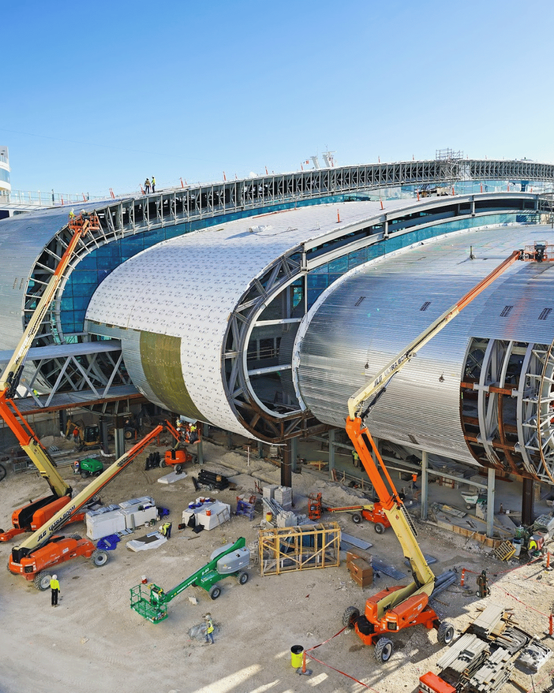
Drone mapping for all types of industries in Miami
- High-Rise Construction (Downtown & Brickell): drone mapping for vertical builds and cut/fill tracking
- Port & Logistics (PortMiami, Doral warehouses): stockpile, yard, and volume calculations
- Infrastructure (Miami-Dade roads, rail, and transit projects): corridor mapping & progress tracking
- Commercial Real Estate (Wynwood, Coral Gables, Coconut Grove): site planning & marketing
- Environmental & Coastal (Miami Beach, Biscayne Bay): shoreline monitoring and vegetation mapping
Some of our projects in Miami
























PortMiami stockpile project: ±2% error margin on cubic yard volumes, delivered in 48 hours
Brickell construction site: 2′ contours + cut/fill analysis for pre-construction grading
Homestead agricultural mapping: orthomosaic and NDVI vegetation index for crop monitoring
BEST DRONE MAPPING SERVICES IN FLORIDA
Workflow & Quality Control
- Planning – define site boundaries, accuracy needs, deliverables
- Acquisition – drone flights with RTK/PPK + GCPs if required
- Processing – photogrammetry/LiDAR pipelines (Pix4D, Metashape, Trimble)
- QA/QC – accuracy checks, metadata validation, file formatting
- Delivery – CAD/GIS-ready files, cloud access, and client review
FAQ's
Yes, Miami, Coral Gables, Doral, Hialeah, Kendall, Homestead, and surrounding areas.
With GCPs, expect 2–4 cm horizontal and 3–6 cm vertical accuracy.
Typical projects under 50 acres are ready in 48–72 hours. Rush delivery available.
Yes, we partner locally when signed/sealed deliverables are required.
Yes, in DWG/DXF formats compatible with engineering workflows.
Yes, our LiDAR solutions penetrate canopy to deliver bare-earth DTMs.
Yes, all flights are compliant and fully insured.
Most sites under 50 acres are delivered within 48–72 hours.