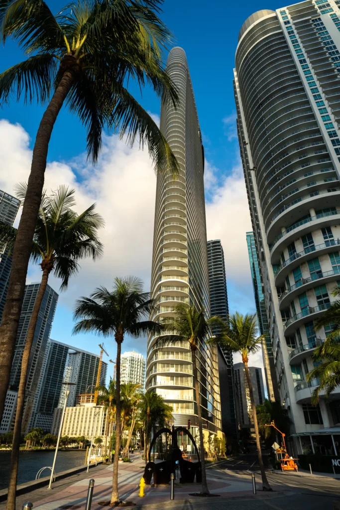
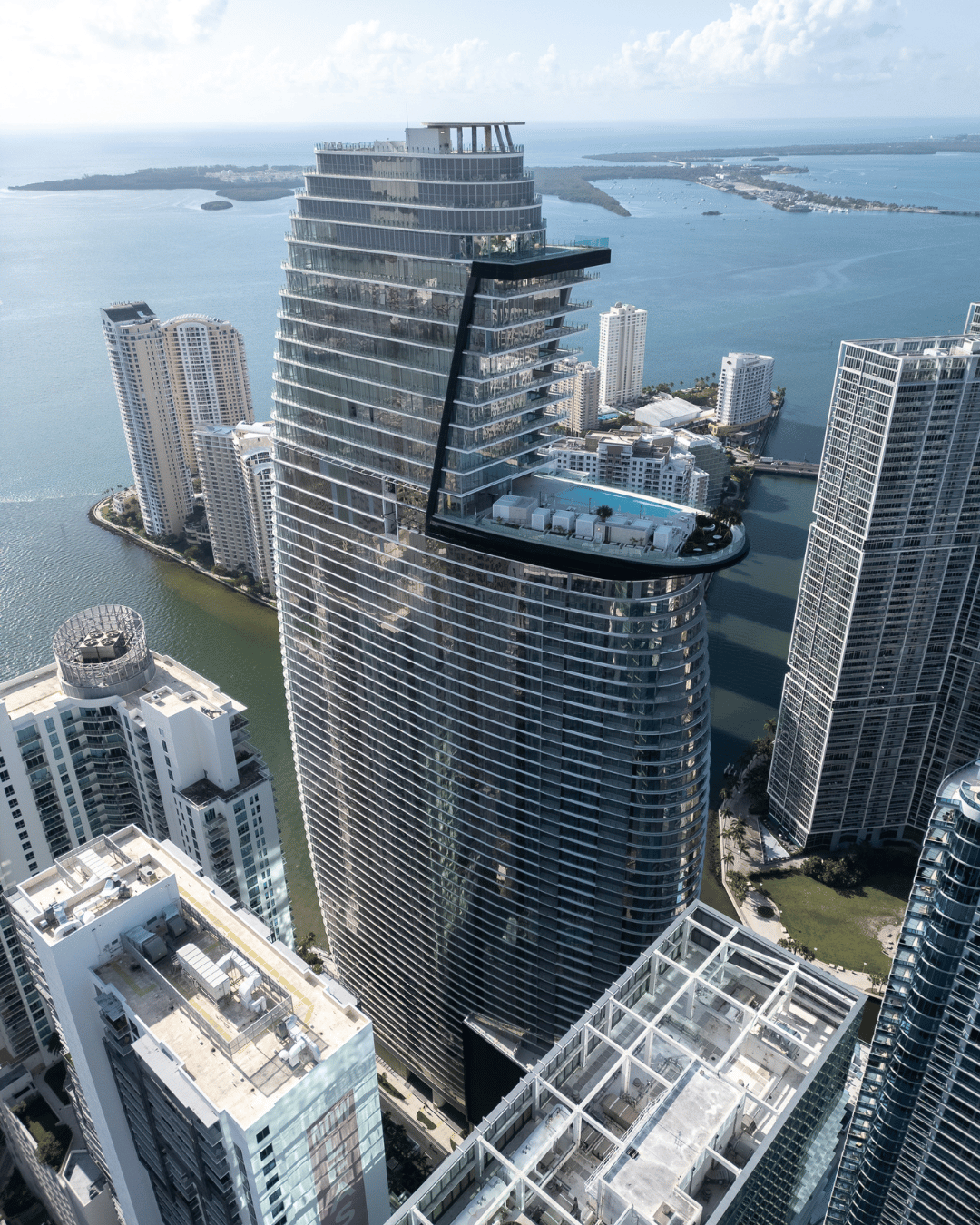
Sell properties faster with stunning aerial photos, cinematic videos, and inspection grade imagery captured by FAA-certified drone pilots.
Drones provide context, scale, and emotion that standard photography can’t match. Every shot is planned for maximum visual impact and accuracy.
Benefits include:
Faster sales: Listings with aerial media generate up to 68% more inquiries.
Professional image: Stand out with high-end visuals that boost credibility.
Accurate perspective: Showcase property lines, amenities, and neighborhood context.
Dual purpose: Use the same imagery for marketing and inspection documentation.
Whether it’s aerial photography or videography, it can be applied in a wide range of fields and for various purposes.
High-resolution images from multiple angles to highlight features, layout, and surroundings. Ideal for MLS listings, brochures, and websites.
Cinematic flyovers, pans, and reveals that tell a property’s story. Optional interior B-roll and agent voiceover integration.
Detailed visual and thermal imagery to detect damage or validate insurance claims without setting foot on a ladder.
Monitor large sites, create promotional videos, and generate consistent documentation for investors or stakeholders.
High-resolution aerial photos (web & print formats)
Cinematic video edits (with optional branding/music)
Roof and inspection report (PDF + imagery)
Cloud gallery for quick sharing with agents or clients
Custom aspect ratios for MLS, Instagram, and YouTube
A simple 3-step process
Share your site boundary (KML, shapefile, or address), desired accuracy, and schedule. We’ll recommend the right package.
Our FAA-certified pilot executes the mission following pre-approved flight plans. All imagery is reviewed for quality and accuracy.
Receive your deliverables via secure cloud link within 2-5 business days, depending on project scale.
FAA-certified, insured pilots.
4K imagery and color-graded video
MLS-compliant framing and aspect ratios
Transparent pricing and reshoot policy
Secure file delivery and permanent archive
Real estate agents & brokers
Property developers
Architects & designers
Roofers & insurance adjusters
Property management companies
Marketing agencies
Yes, all framing, altitude, and aspect ratios comply with MLS image rules.
Absolutely, we can combine ground and aerial footage into one cohesive video.
Yes, with LAANC authorization or FAA waivers as required.
We reschedule at no cost to ensure safety and consistent quality.
Yes, we provide professional editing with color grading, music, and branded lower thirds.