
RTK and ground control points (GCPs) both improve drone mapping accuracy, but they solve different problems. An RTK drone corrects its own position in flight and typically delivers 2 to 5 cm absolute accuracy with no physical markers on the ground. GCPs are surveyed targets placed before the flight that anchor the finished map to known coordinates, and when combined with RTK and independent checkpoints, the result is 1 to 3 cm horizontal and 2 to 4 cm vertical accuracy, the level most engineers and surveyors consider defensible.
If you’ve been told “RTK means you don’t need GCPs anymore,” that’s only half true, and the missing half is usually the part that gets a deliverable rejected. Here’s what each one actually does, how accurate drone mapping really gets, and why a drone map still isn’t a legal survey in Florida no matter how many centimeters of accuracy you throw at it.
Key Takeaways (TL;DR)
- RTK alone: 2 to 5 cm absolute accuracy, no ground markers needed, fastest setup.
- GCPs alone: 1 to 3 cm horizontal, 2 to 5 cm vertical, but only as accurate as the survey used to place them.
- RTK + GCPs + checkpoints: 1 to 3 cm horizontal, 2 to 4 cm vertical RMSE, the combination most engineers and lenders will actually accept.
- GCPs and checkpoints are not the same thing. A GCP is used to build the map. A checkpoint is deliberately left out of processing and used afterward to prove the map is accurate. Confusing the two is the single most common mistake in drone mapping reports.
- A drone map is not a boundary survey in Florida. Florida Statute Chapter 472 specifically includes photogrammetric survey work in its definition of regulated surveying. Property lines and legal boundaries require a licensed Professional Surveyor and Mapper (PSM), regardless of how the data was captured.
What are ground control points (GCPs) in drone mapping?
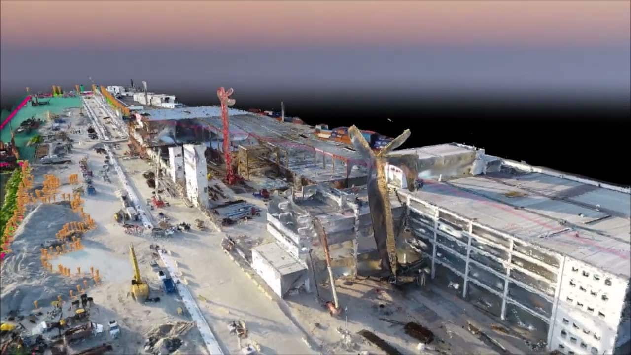
GCPs are physical targets with precisely surveyed coordinates that get photographed during the drone flight and used by the processing software to anchor the finished map to the real world. Before the flight, a crew places marked targets across the site and records their exact position, usually with RTK GNSS equipment. The photogrammetry software then uses those known points as reference anchors while stitching the thousands of overlapping drone photos into a single georeferenced model. More GCPs, well distributed across the site rather than clustered, generally means a tighter, more reliable model.
What is RTK, and how is it different from GCPs?
RTK (Real-Time Kinematic) is a correction system built into the drone itself, not a ground marker. The aircraft receives live correction signals from a fixed base station or a network service while it flies, which lets it record its own position to within a few centimeters in real time, image by image. The practical difference: GCPs anchor the map from the ground after the fact, RTK gets the aircraft’s own position right while it’s in the air. That’s why an RTK-equipped drone can fly a site with zero physical ground markers and still land in the 2-5 cm range, which is a major speed advantage on large or hard-to-access sites.
How accurate is drone mapping with RTK alone vs. GCPs vs. both?
The combination you choose should match what the deliverable is actually for. Here’s how the three approaches compare:
| Method | Horizontal accuracy | Vertical accuracy | Best for |
|---|---|---|---|
| RTK only, no GCPs | 2 to 5 cm | 2 to 5 cm | Fast progress mapping, stockpile estimates, large or inaccessible sites |
| GCPs only, no RTK | 1 to 3 cm | 2 to 5 cm | Sites where the drone lacks RTK, or as a backup to RTK |
| RTK + GCPs + independent checkpoints | 1 to 3 cm | 2 to 4 cm RMSE | Engineering deliverables, volume certifications, anything that needs to hold up to review |
Two things drive accuracy more than the spec sheet does: how well the GCPs are distributed across the site (clustered points leave the far corners of the map under-constrained), and whether anyone actually validated the result with checkpoints instead of just trusting the software’s own quality report.
What’s the difference between a GCP and a checkpoint?
A GCP is used to build the map. A checkpoint is deliberately withheld from processing and used afterward to prove the map is accurate. This distinction gets confused constantly, including by pilots who should know better, and it matters because of what each one can actually tell you.
- GCPs are active during processing. The software uses their known coordinates to align and constrain the model while it builds it. A model with more GCPs will generally report a tighter internal fit.
- Checkpoints are excluded from processing on purpose. You measure a point, don’t feed it to the software, then compare what the finished model says that location is to what you actually measured. The difference between the two is your real, independent accuracy number.
- The software’s own quality report is not proof of accuracy. It’s an internal consistency check: how well the model agrees with the control you gave it. It can look excellent and still be wrong in an area with no nearby GCP, which is exactly what checkpoints are built to catch.
If a deliverable only shows you a processing report with no independent checkpoint residuals, ask for them before you trust the numbers.
Does a drone map count as a legal survey in Florida?
No. Florida law regulates this specifically, and photogrammetry doesn’t get a pass. Florida Statute Chapter 472 governs land surveying and mapping, and its definition of surveying explicitly includes photogrammetric survey work. Establishing a property boundary, preparing a plat, or producing anything used for property transfers, permits, or legal disputes requires a Florida-licensed Professional Surveyor and Mapper (PSM). An FAA Part 107 certificate authorizes a pilot to fly commercially; it does not authorize anyone to practice surveying in any state.
What this means in practice: drone mapping data, even at 1-3 cm accuracy, is excellent input for a PSM’s work, volume calculations, site planning, progress tracking, visual documentation, but it is not a substitute for a licensed survey when boundaries or legal standing are involved. We fly the data; your surveyor or engineer certifies what it’s used for.
When do you actually need RTK and GCPs together?
Use both whenever the deliverable will be reviewed, certified, or relied on by someone other than you. A few practical rules of thumb:
- RTK alone is usually fine for: weekly or monthly progress mapping, rough stockpile volumes for internal tracking, and large sites where placing dozens of GCPs isn’t realistic.
- Add GCPs and checkpoints when: a lender, engineer, or municipality will review the deliverable; the volumes feed into a payment or billing dispute; or the data supports a SIRS, milestone inspection, or any report a licensed professional has to sign.
- Ask your provider directly how many GCPs they placed, how they were surveyed, and whether they ran independent checkpoints. A specific answer with numbers is a good sign. A vague “yes, we use RTK” is not.
FAQ
Can RTK completely replace ground control points?
For many projects, yes, in the sense that you don’t need physical GCPs to get a usable 2-5 cm accurate map. But professional workflows still use a handful of independent checkpoints even on RTK flights, because checkpoints are the only way to prove accuracy rather than just estimate it from a processing report.
How many GCPs does a typical site need?
It depends on site size and shape, but the general principle is distribution over quantity: GCPs spread around the perimeter and through the middle of the site constrain the model far better than the same number clustered in one area.
Is a 1 cm accuracy claim realistic for drone mapping?
Under ideal conditions, with a strong GCP network, RTK, and short-range checkpoints on flat terrain, sub-centimeter results are achievable in controlled tests. For typical commercial job sites, 1-3 cm horizontal is the realistic, repeatable range to plan around.
Does drone mapping accuracy hold up on vertical structures, not just flat sites?
Accuracy on facades and vertical surfaces depends heavily on flight pattern and image overlap, not just GCPs, since oblique and close-pass imagery behaves differently than a straight-down mapping grid. This is a separate flight plan from a typical orthomosaic survey.
Can I use drone mapping data for a property survey?
Not on its own. Florida law includes photogrammetric work in its definition of regulated surveying, so boundary determination and anything with legal standing requires a licensed PSM, regardless of the accuracy the drone data achieves.
Get drone mapping data with real GCP and checkpoint documentation
Drone Permission flies RTK-equipped mapping missions across Miami, Orlando and Tampa, with GCP placement and independent checkpoints documented for every deliverable that needs to hold up to review. See our Miami drone mapping services or our drone mapping cost guide for pricing by project type.