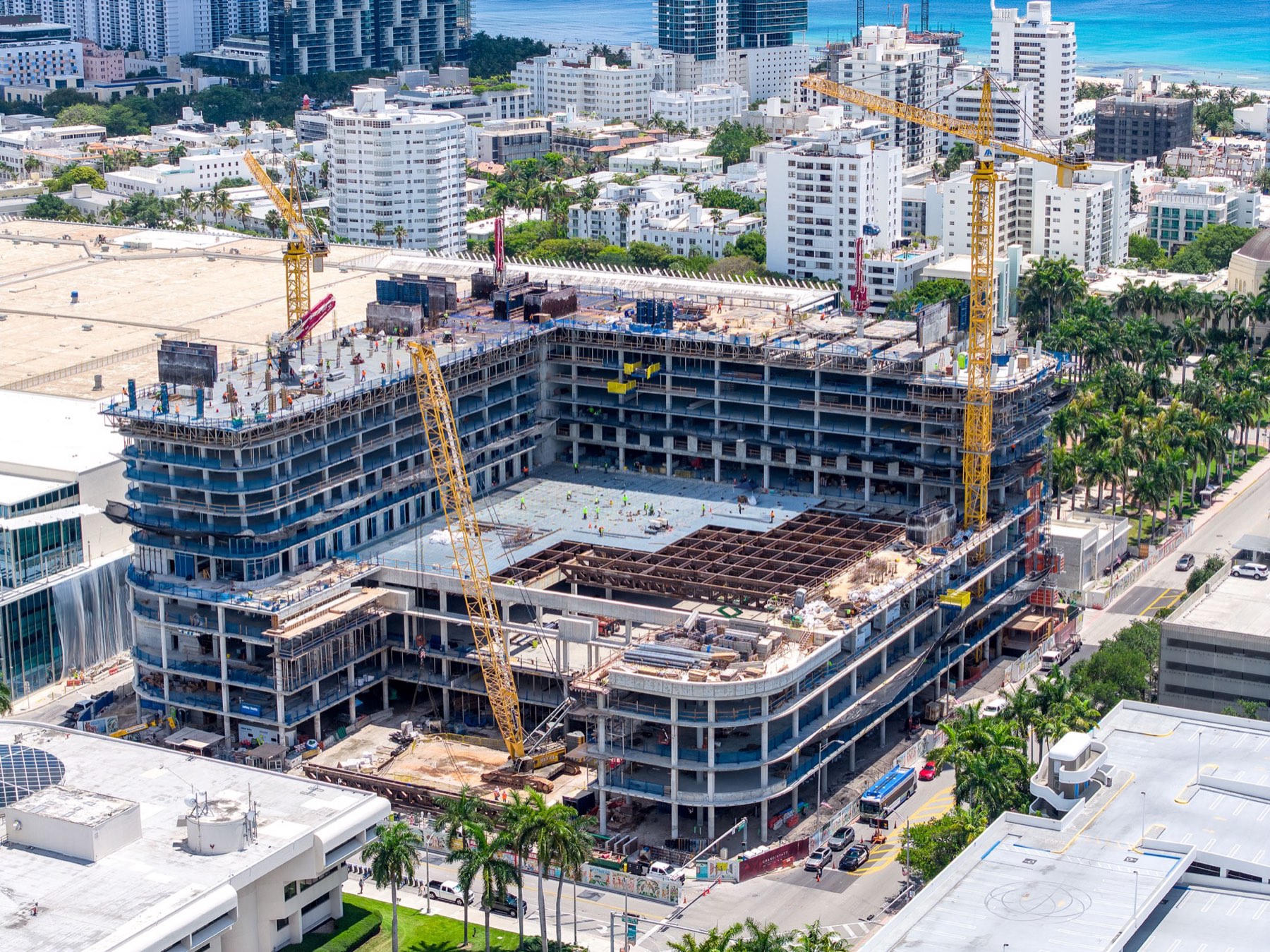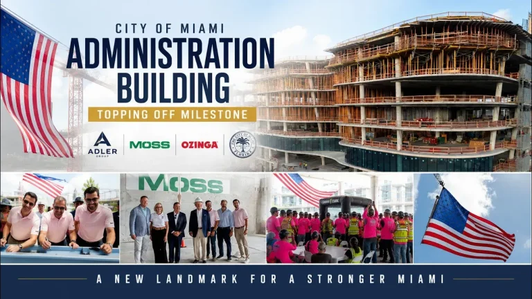
City of Miami Administration Building
Miami, FL
Topping off ceremony and construction progress coverage on a civic project in downtown Miami.
- Aerial
- Ground
- Ceremony
Miami · Fort Lauderdale · Statewide Florida
Construction drone services in Miami, from one crew that covers air, ground, sound, and editing. Drone Permission documents high-rise projects across South Florida with FAA Part 107 licensed and insured pilots who handle LAANC airspace authorization, work inside your site safety plan, and deliver progress photography, ceremony video, mapping, and inspection imagery your team can actually use.
Rather talk it through? Call 305-878-9689
Trusted on active jobsites by
Watch First
The fastest answer is ninety seconds of the work. This reel cuts across the industries we cover in South Florida: high-rise construction progress, concrete pours, topping out ceremonies, commercial real estate, infrastructure, and marketing production. Every frame in it was captured by our own crew, and everything you see is licensed, insured, airspace authorized work on real client sites.
Click to play. The player loads only when you press it, so it does not slow the page down for everyone else.
Recent Work
These are finished films from South Florida jobsites, not a showreel of stock aerials. Each one was shot on an active site with crews working, cranes turning, and a superintendent who needed the day to keep moving. Topping out ceremonies, mat pours, an airport concourse handover, and a full jobsite interview package are all represented below.
Swipe, or use the arrows. Each video loads only when you click it.
Miami, FL
Topping off ceremony and construction progress coverage on a civic project in downtown Miami.
Brickell, Miami, FL
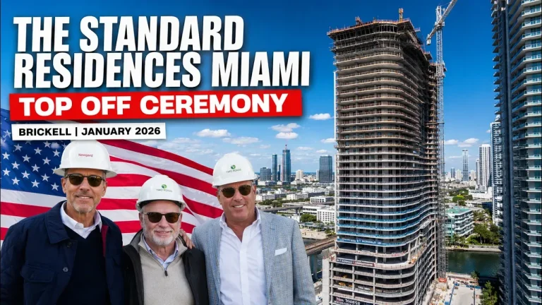
Topping off ceremony and a Brickell construction update cut for the developer and the general contractor.
Hallandale Beach, FL
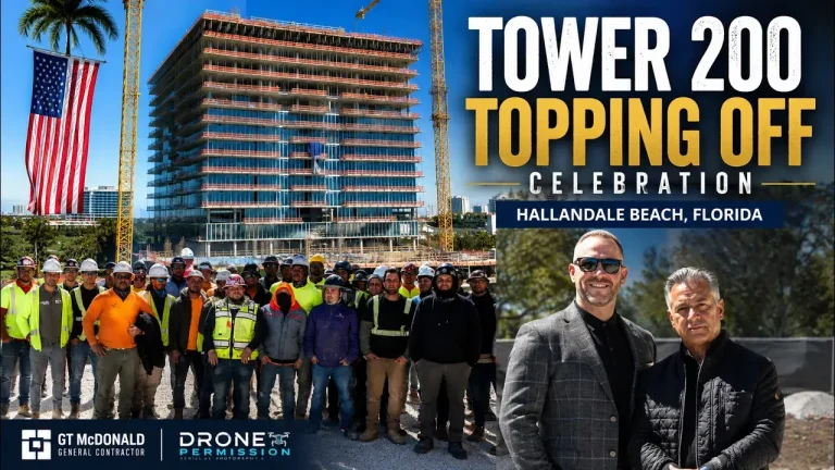
Topping off celebration and construction progress coverage produced with GT McDonald.
Hallandale Beach, FL
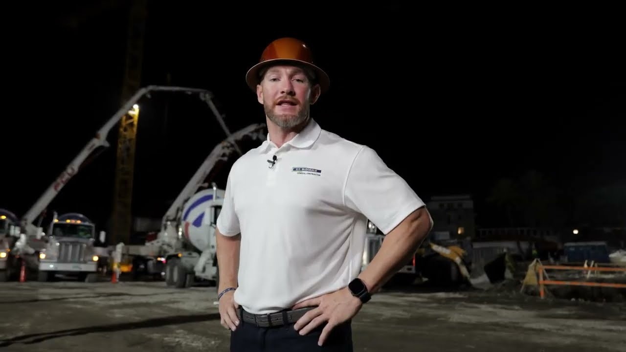
Overnight foundation pour documented end to end with GT McDonald and CEMEX.
Key West, FL
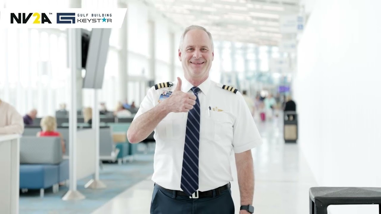
Final video tour and aerials of the new concourse, delivered as a handover film for the client.
Miami, FL
Full video production on an active jobsite, including on camera interviews and clean location audio.
More milestone work: topping out ceremony photography and video and foundation pour documentation.
What We Do
Four capabilities, one crew, one invoice. Aerial photo and video from a Part 107 pilot, ground camera and interview audio from the same team, drone mapping and orthomosaics for planning and coordination, and live feed for stakeholders who cannot be on site. Most construction clients use two or three of these on the same visit rather than booking them separately.
Progress photography, cinematic tower footage, and milestone coverage from a licensed and insured pilot. Aerial photography services.
The same crew that flies also shoots the deck, the crews, and on camera interviews with clean location sound.
Orthomosaics, 360 site panoramas, and view studies for planning and coordination. Miami drone mapping.
Streamed video from the site so ownership, lenders, and out of state stakeholders can watch a pour or a lift as it happens.
Sector pages: construction drone services, drone services for real estate, and drone inspections in construction.
Project Gallery
Towers up to 85 stories, ground level detail, and everything in between. Every photograph below is shown whole, uncropped, exactly as it was delivered to the client. Click any frame to enlarge it.
Color Grading, Included
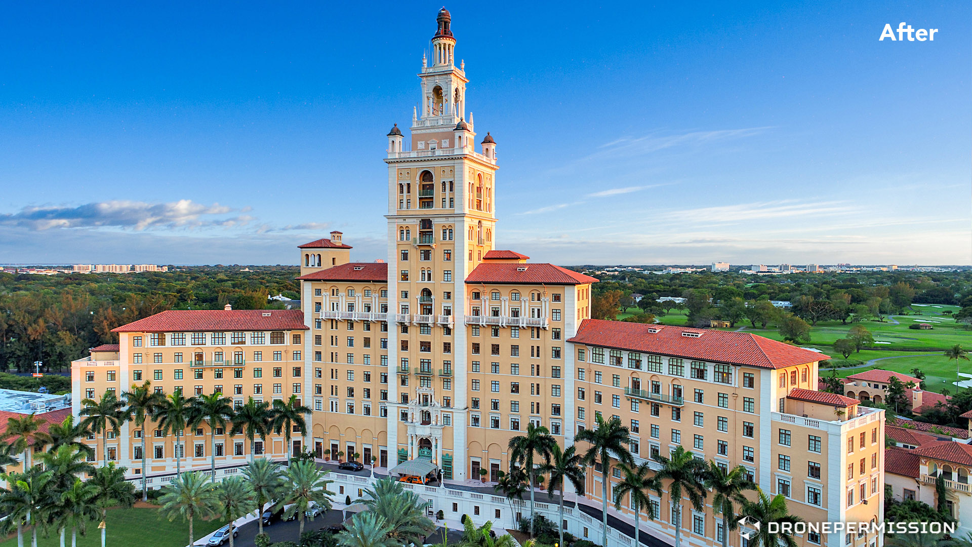
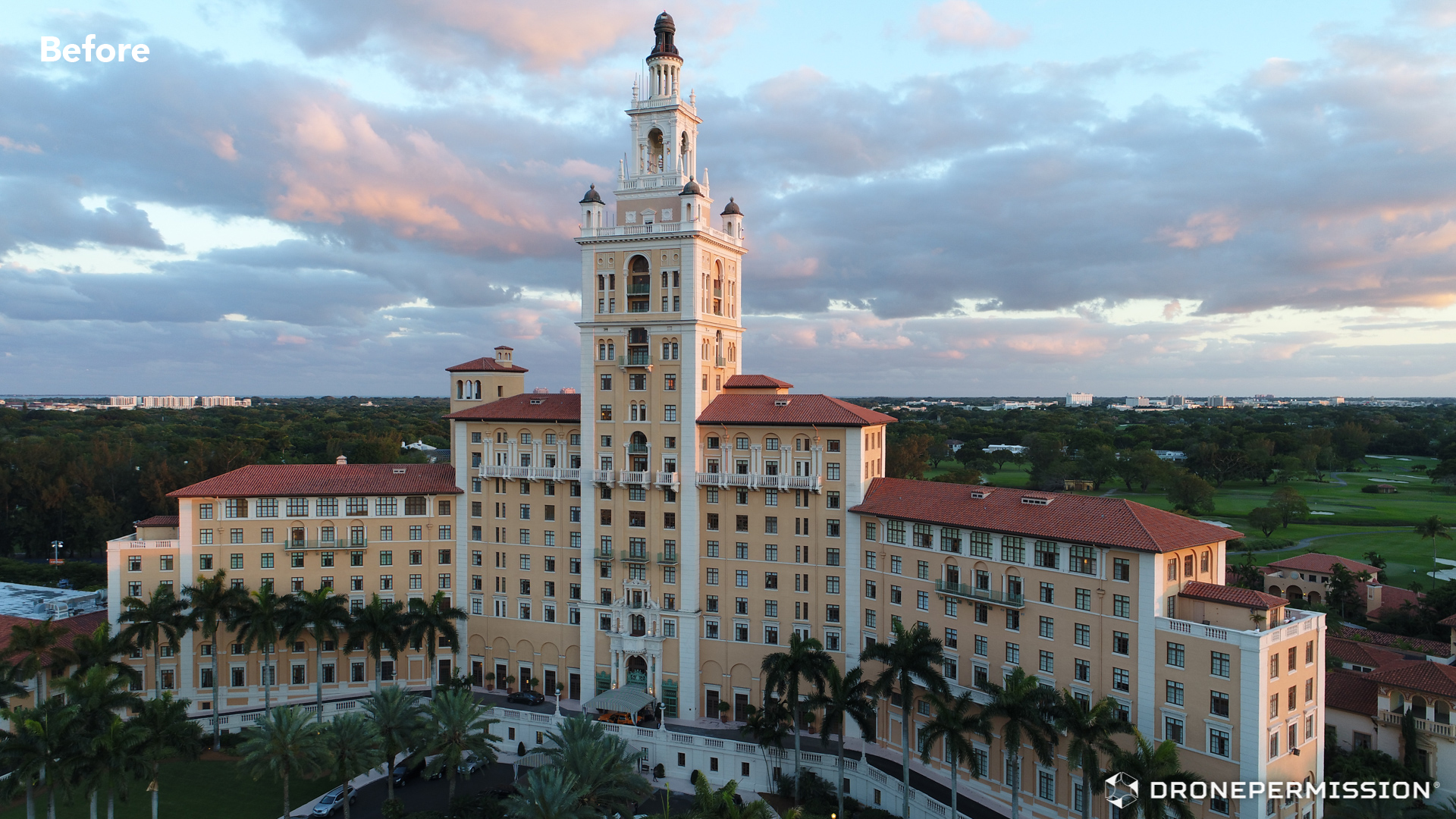
Color grading is what turns a technically correct frame into one a developer will actually publish. Footage off a drone sensor is recorded flat on purpose, so it holds detail in both the sky and the shadowed side of a tower. Grading is where that latitude gets spent: sky, glass, concrete, and skin tones brought back to how the building really looks.
Before
After
The Biltmore Hotel, Coral Gables. Drag the handle to compare the ungraded frame with the delivered file.
Every still and every clip we deliver is graded before it reaches you. It is part of the job, not a line item quoted afterward, and it is done by the same crew that flew the site, so nobody is guessing what the light was actually doing that morning.
That matters most on ceremony and marketing work, where the file goes straight into a press release, a leasing site, or a LinkedIn post the same week. It matters just as much on progress documentation, where a consistent grade across twelve monthly visits is what lets a team compare one month to the next without second guessing the weather.
Flat log footage is lifted back to full contrast without crushing the shadow side of a facade or blowing out west facing glass at sunset.
White balance corrected across the shoot, concrete and glass returned to their real color, and flat South Florida overcast recovered so the building reads against the sky.
Month eleven is graded to match month one, so a progress set reads as one record of a project rather than twelve different days of weather.
Complete construction drone services on a South Florida project usually combine four capture methods on the same visit: aerial stills and video for scale and progress, ground camera for the work and the people, mapping for planning and coordination, and inspection imagery for the envelope. The table below shows what each one captures and where it earns its place.
| Method | What It Captures | Best For |
|---|---|---|
| Aerial photo and video | Tower elevation, site context, crane and deck activity, sunrise and dusk exteriors | Monthly progress records, marketing, press, leasing and sales material |
| Ground camera and audio | Crews at work, formwork and rebar detail, on camera interviews with clean sound | Ceremony films, recruitment, safety and quality storytelling, client handover videos |
| Drone mapping | Orthomosaics, 360 site panoramas, view studies and render overlay reference | Logistics planning, stakeholder coordination, architect view studies |
| Inspection imagery | High resolution facade, roof and envelope frames from positions no lift reaches | Envelope reviews, punch documentation, insurance and condition records |
Pricing varies by scope and frequency. We publish real ranges rather than making you ask: see drone services cost in Florida and drone mapping cost in Florida.
What Clients Say
Verified reviews from our Google Business Profile. The three below are reproduced in full, and the live feed underneath pulls straight from Google.
★★★★★
“We've worked with Drone Permission on several projects, from documenting a 100-year-old church in Downtown Miami for redevelopment to tracking progress on a luxury waterfront mid-rise in Fort Lauderdale. Their team has provided everything from site mapping and aerial views to view studies for architects and render overlay support. Jorge Alvarez is reliable, always delivers on time, and is a trusted part of our development process.”
Rob Burdick
★★★★★
“Drone Permission delivered exactly what we needed: prompt, professional drone services in Miami, FL. Their FAA Part 107 certified, licensed and insured drone pilots captured stunning aerial photography and drone videography for our project, plus construction progress documentation and drone mapping we could actually use. Fast turnaround, clear communication, and top-notch post-production.”
Michael Barriger
★★★★★
“Our team had the pleasure to work with Drone Permission over 3 years and we couldn't be more impressed. From start to finish, their professionalism, expertise and attention to detail were exceptional. The quality of their drone footage was excellent and visually stunning. Communication was seamless, and they delivered everything on time, exceeding our expectations.”
Alejandro Brito
Live from Google
The difference between a construction crew and a wedding photographer with a drone shows up in the first ten minutes on site. We arrive in PPE, sign in through your process, brief with the superintendent before anything leaves the ground, and file LAANC airspace authorization days ahead rather than on the tailgate. The schedule does not bend around us.
Hard hat, vest, boots, and glasses as standard. We understand crane operations, exclusion zones, and why nobody is walking under a pick.
Most of Miami-Dade sits under controlled airspace. LAANC authorization is filed before the date, not improvised on site.
Shot list agreed in advance and staged around the pour, the lift, or the ceremony so the day keeps moving.
Developer, general contractor, and trade partners all get recognized in the final cut, which is usually why the video travels.
Cost depends on scope, site access, how often you need coverage, and whether the visit includes ground camera and interviews as well as aerial work. A single milestone visit and a twelve month progress program are priced very differently. We publish real ranges rather than hiding them behind a form, so start with our Florida drone services cost guide and our drone mapping cost guide, then send us the project and we will quote the actual scope.
In most of Miami-Dade, yes. The county sits largely under controlled airspace around Miami International, Opa-locka, and other fields, and commercial operations there need air traffic control authorization. We request it through LAANC, the FAA system that returns near real time authorization for approved altitudes, and we file it ahead of the shoot date rather than on site. Some locations sit above the LAANC grid ceiling and need further coordination, which we handle before we commit to a date.
Yes. Every flight is operated by a pilot holding an FAA Part 107 Remote Pilot Certificate, and we carry commercial unmanned aircraft liability insurance. We can provide a certificate of insurance, and we can name your company as additional insured on request. Send the requirement with your project details and we will have the paperwork back before the site visit.
Yes, and that is most of what we do. Flight over people is governed by FAA rules and depends on the aircraft category and the situation, so the practical answer on a live site is that we plan the flight path with the superintendent, stage around active picks and pours, and keep the aircraft off the crews. We work in PPE, sign in through your process, and brief before anything leaves the ground.
Monthly is the most common cadence on a high-rise, because it produces a comparable record for ownership, lenders, and marketing without adding much cost per visit. Milestones sit on top of that: the mat pour, topping out, envelope close-in, and handover. Projects that need dispute or delay documentation often move to every two weeks. We would rather scope this around your schedule than sell a fixed package that does not fit it.
Photography produces images made to be looked at: elevation, progress, marketing, and press. Mapping produces images made to be measured against, such as orthomosaics and site panoramas used for logistics planning, coordination, and view studies. Important limit: our mapping deliverables are documentation and planning tools. Measurements for legal, boundary, or engineering purposes require a Florida licensed surveyor, and we will say so rather than let a deliverable be used for something it was not made for.
Our base and the majority of our work is Miami-Dade and Broward, including Miami, Miami Beach, Brickell, Downtown, Coral Gables, Hallandale Beach, and Fort Lauderdale. We travel statewide for projects that need it, and we have worked as far south as Key West. If your site is outside South Florida, tell us the location and the dates and we will tell you honestly whether travel makes sense for the scope.
Edited stills and video, color corrected and delivered in the format your team prefers, whether that is full resolution files for print and press or web sized versions for social and leasing. Post production, color correction, and graphics are included rather than quoted separately. If something in the delivery does not match what we agreed, we revise it.
Construction drone services start with a conversation. Send us the project, the dates, and the site address. We come back with airspace feasibility, a shot plan, and a quote for the actual scope.
Get a Quote for Your Project